
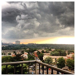
Provided by Roopa Tiwari

Provided by Roopa Tiwari
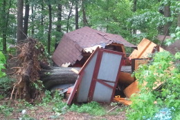
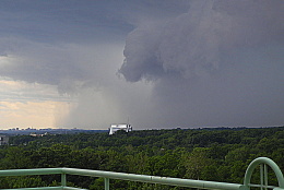
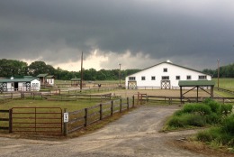
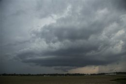
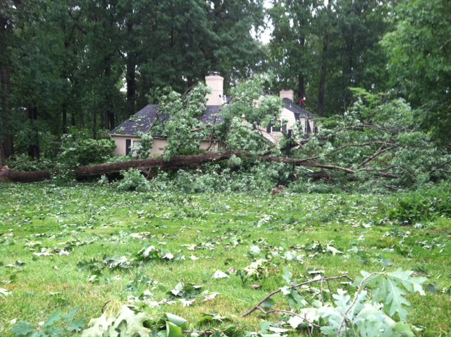
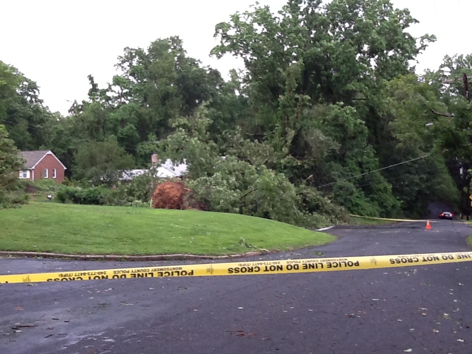
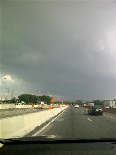
Provided by Lisa A.

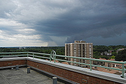
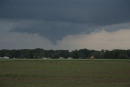
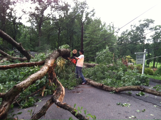
Provided by Lisa A.
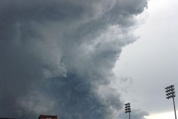
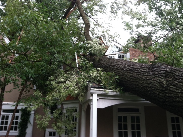
Provided by Lisa A.

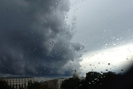
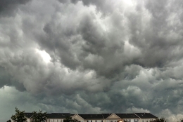
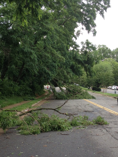
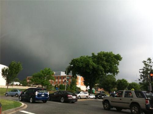
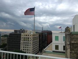
WTOP/Kristi King

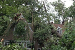
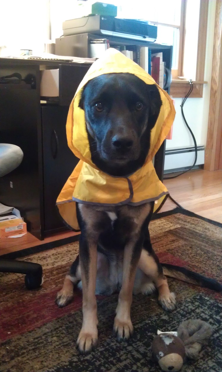
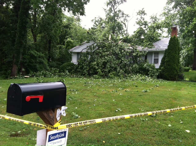
Provided by Dee

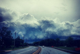
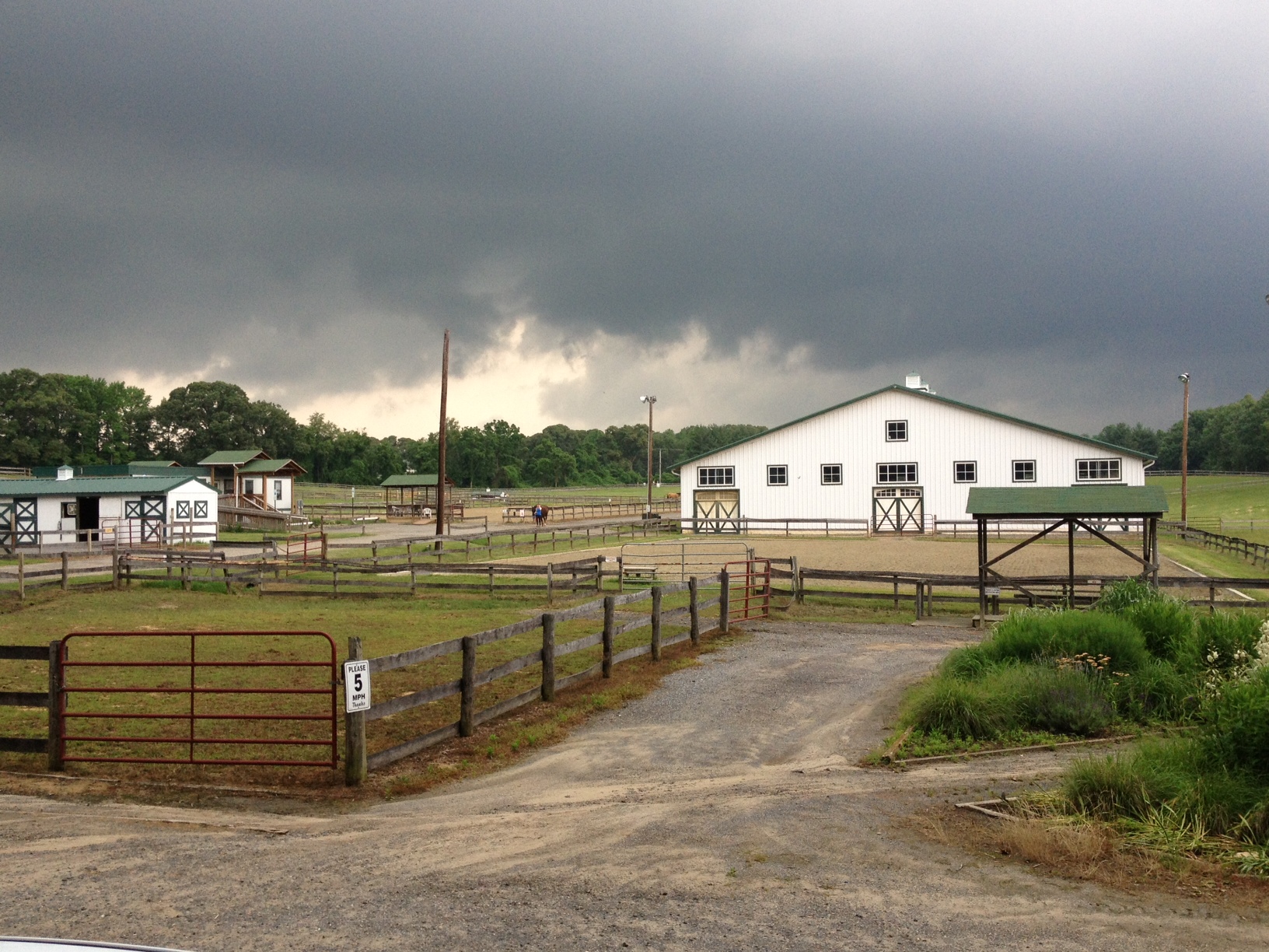
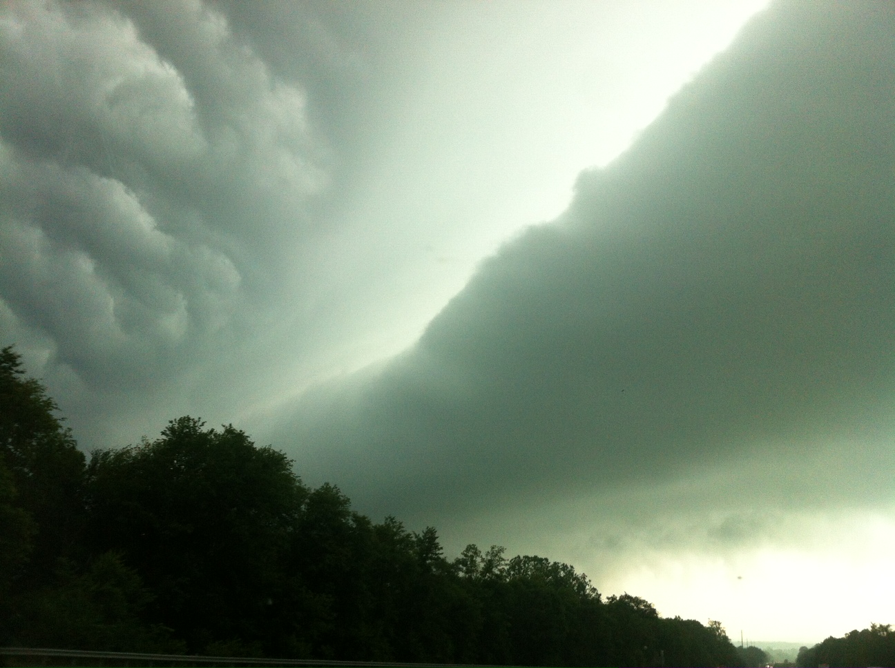
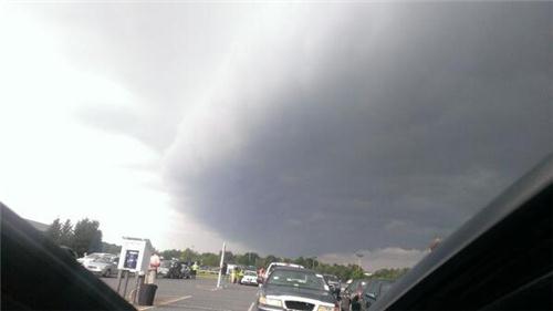
WTOP/Kristi King
WTOP/Kristi King
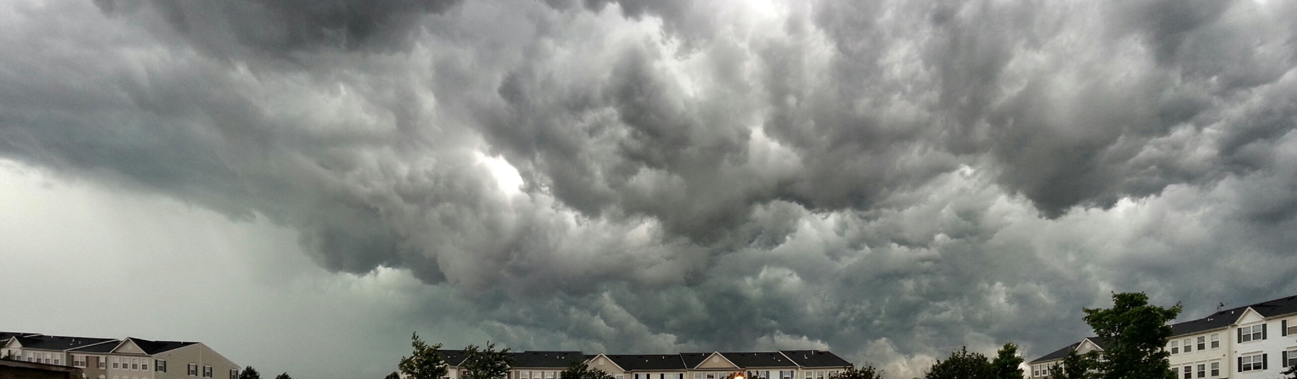
WTOP/Kristi King

WTOP/Kristi King

WTOP/Kristi King
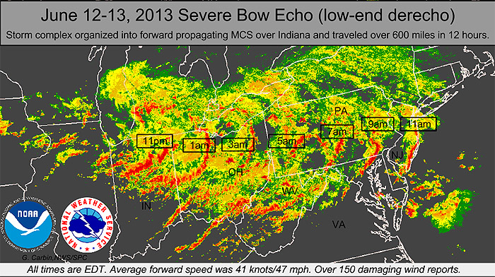
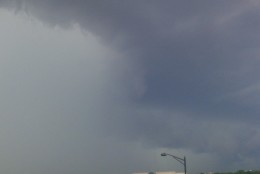
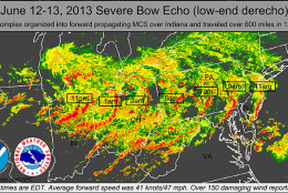
National Weather Service
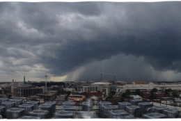
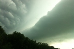
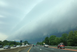
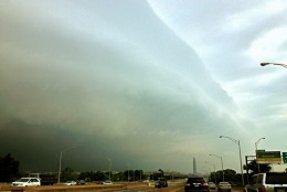
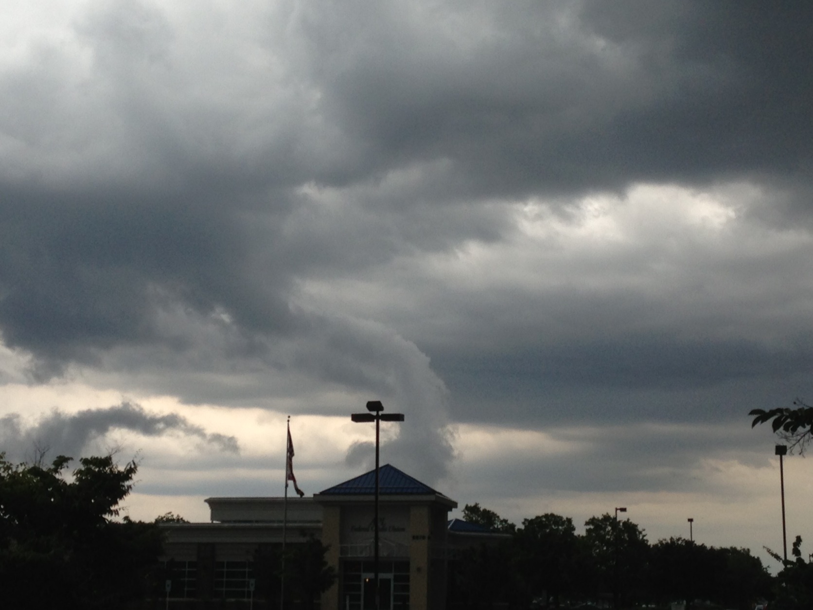
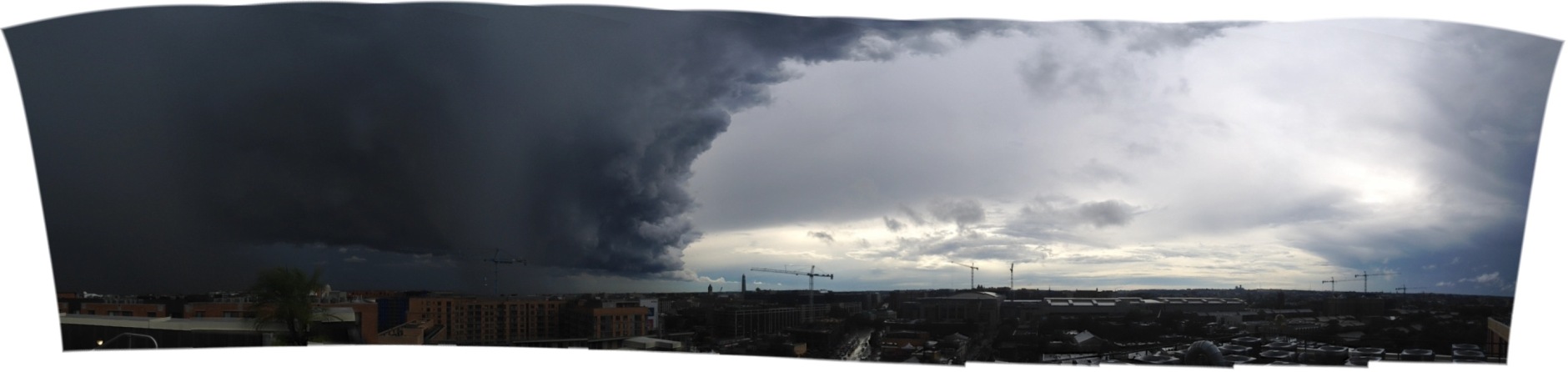
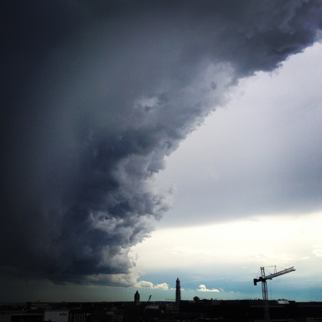
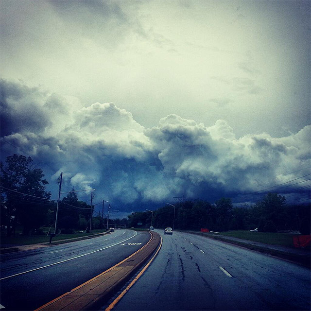
WTOP/Dave Dildine
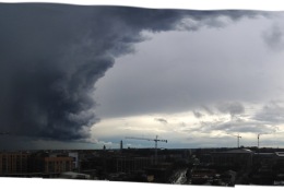
WTOP/Dave Dildine
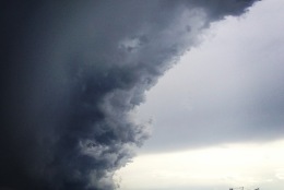
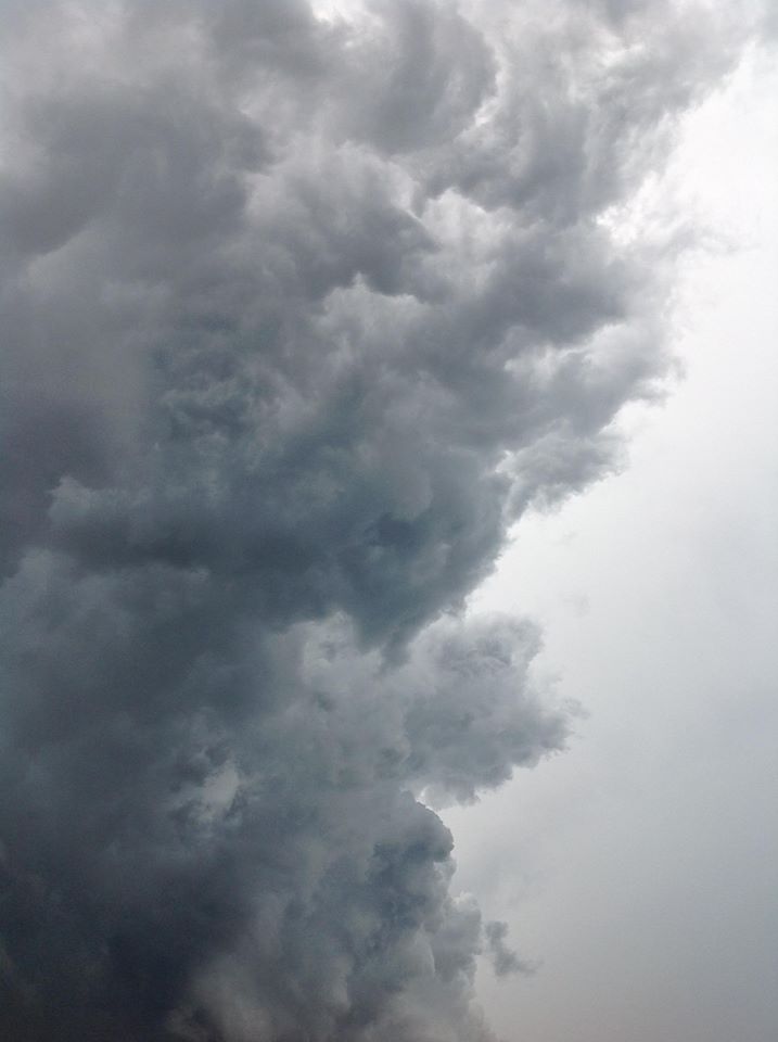
WTOP/Dave Dildine
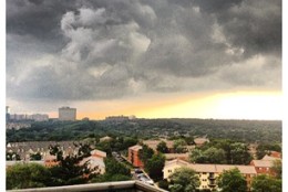
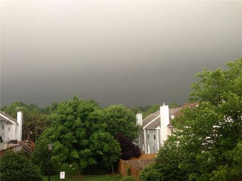
Provided by Sandy
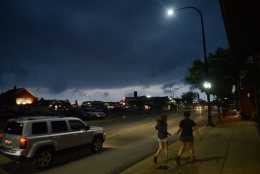
Provided by Ramesh Kagoo
Provided by Pete Grosso
Provided by Heather D'Amore
Provided by Ileana T
Provided by Ileana T
Provided by Ileana T
Provided by LaDedra Drummond
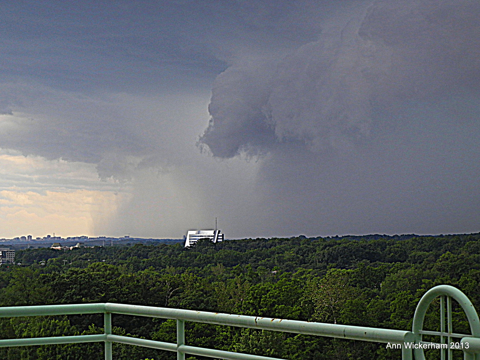
Provided by Ann Wickerham
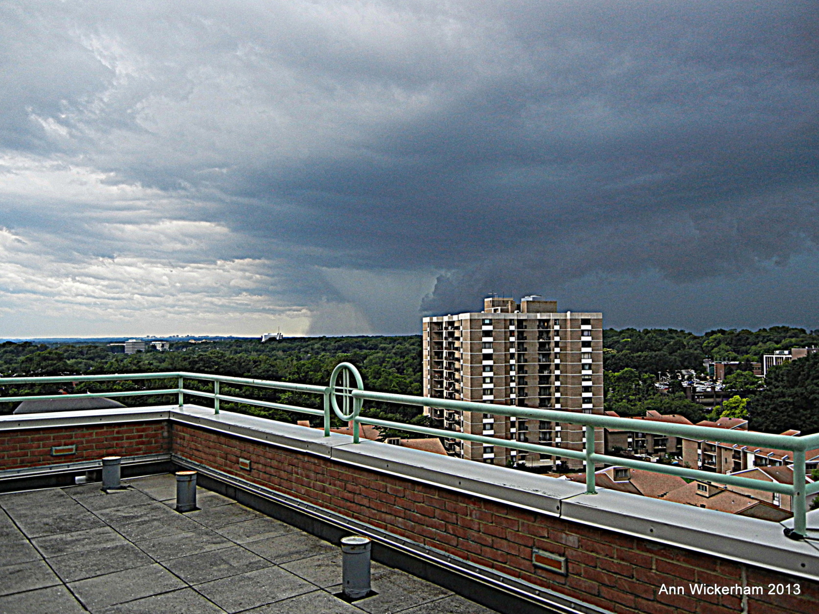
Provided by Ann Wickerham
Provided by LaDedra Drummond
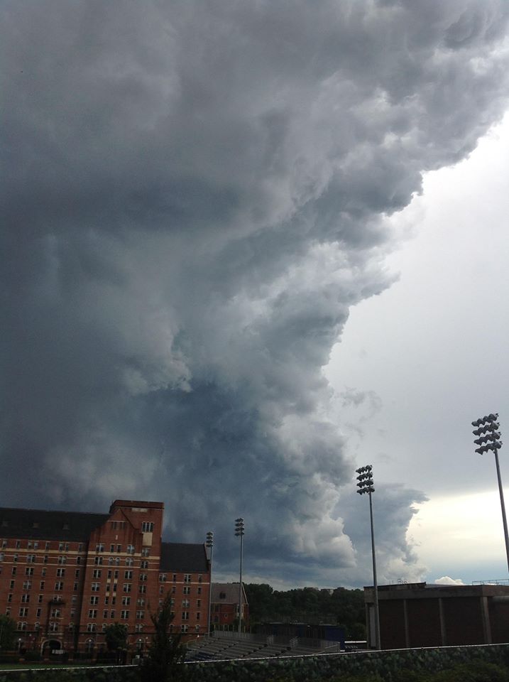
Provided by BL
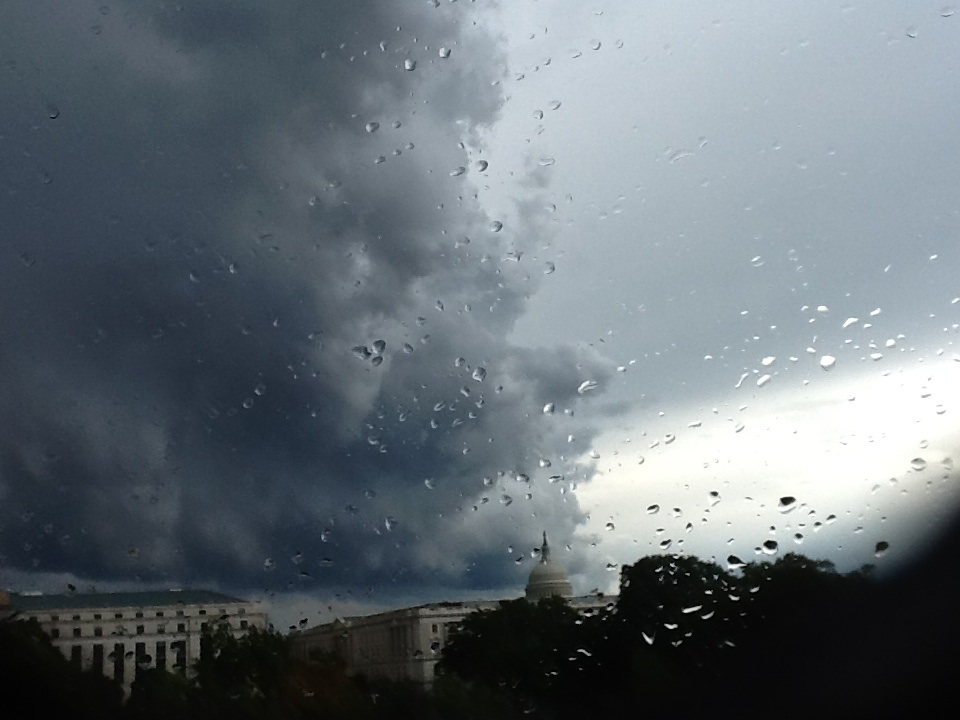
Provided by Cailyn Keely
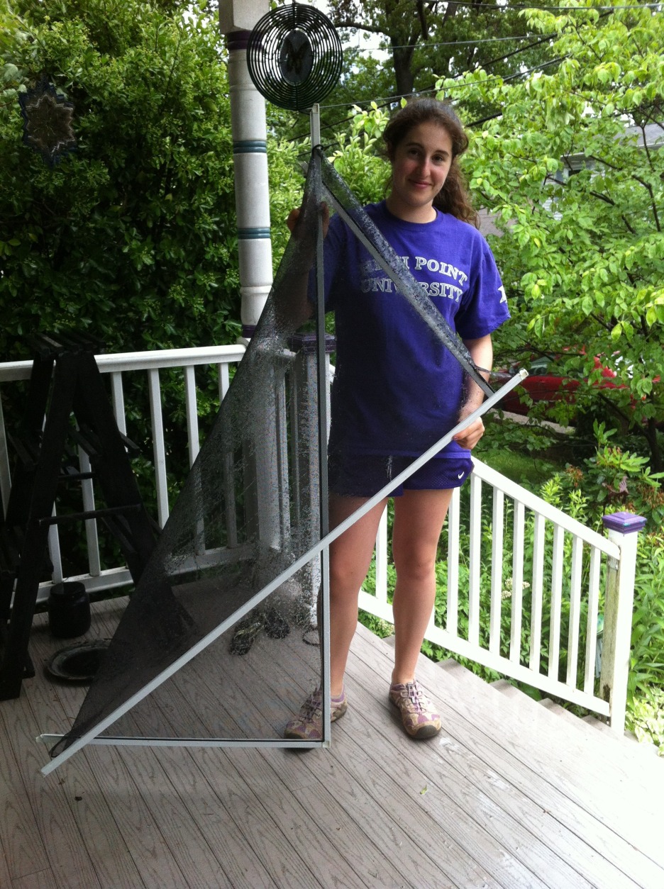
Provided by Joan Murray
Provided by Julianne Mills
Provided by Vince
Twitter/@ThisIsJohnathan
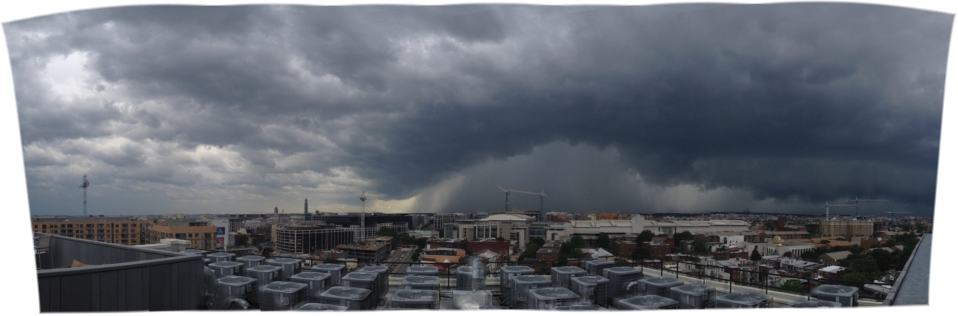
WTOP/Dave Dildine
Provided by JM
Provided by Sara C
Provided by Matt


Courtesy Gwen Wilson

AP Photo/Daily Herald, Bob Chwedyk
AP Photo/The Journal Gazette, Chad Ryan

AP Photo/The Journal Gazette, Chad Ryan