Snow turns to fog as D.C. region dusts off

Enough snow fell in Falls Church for Annabelle to make this dirty snowman. (WTOP/Adam Tuss)
Snow in Annapolis, Md. (Courtesy of Cynthia Marcum)
Snow blankets the scene in Centreville, Va. (Courtesy of Mary Bankert)
Snow covers a railing in Springfield, Va. (Courtesy of Kristine Ahlskog)
This Fairfax snowman took about an hour to build. (Courtesy of Laura Reynolds)
Can you spot the standout snowflake? (Courtesy of Taylor Kinsley)
An estimated 1.5 inches of snow -- maybe more -- is seen near Warrenton, Va. (Courtesy of Katherine Fletcher)
A surprise guest today in Burke, Va. ... snow. (WTOP/Jonathan Warner)
Heavy snow on Route 29 westbound in Fairfax County. (Ellen Kamilakis)
Barkley, who belongs to WTOP editor Mike Jakaitis, takes a break after playing in the snow in Germantown. (WTOP/Mike Jakaitis)
Snow falls Monday in Springfield, Va. (WTOP/Jonathan Warner)
Bailey, who belongs to WTOP anchor Mike Moss, loves the snow. (WTOP/Mike Moss)
Snow falls Monday at an area playground. (WTOP/Nathan Hager)
Some miniature snowmen in Lake Ridge, Va. (Courtesy of Nicole McGee)
Tallula is from Texas and enjoyed her first snow. (Courtesy of Monica Cavanaugh)
More fun in the snow. (Courtesy of Lisa Durham)
A snowy scene from Upper Marlboro, Md. (Courtesy John Marciniak)
(1/18)

WASHINGTON – The Washington area was surprised by heavy flurries in some areas Monday night, with up to two inches of accumulation on the ground.

It left the region, which has had an unusually warm winter, under heavy fog Tuesday morning.

The National Weather Service issued a dense fog advisory for throughout the WTOP listening area until 9 a.m.

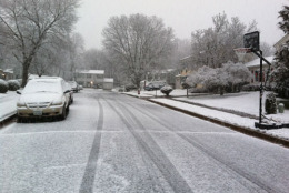
Early temperatures at or below freezing created slick conditions on saturated area roads.

“The fog is pretty intense,” says ABC 7 Meteorologist Brian van de Graaff. “Limited visibility is less than a quarter of a mile.”

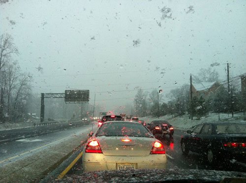
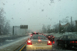
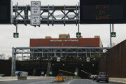
The conditions caused “heavier than normal delays” on commuter arteries, reports WTOP Traffic’s Reada Kessler.

Van de Graaff expected temperatures to rise into the 50s by midday Tuesday, clearing up regional pavement.

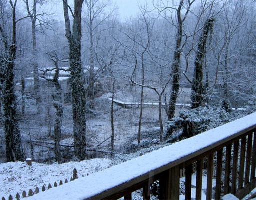
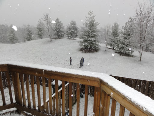
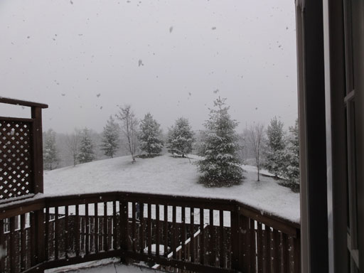
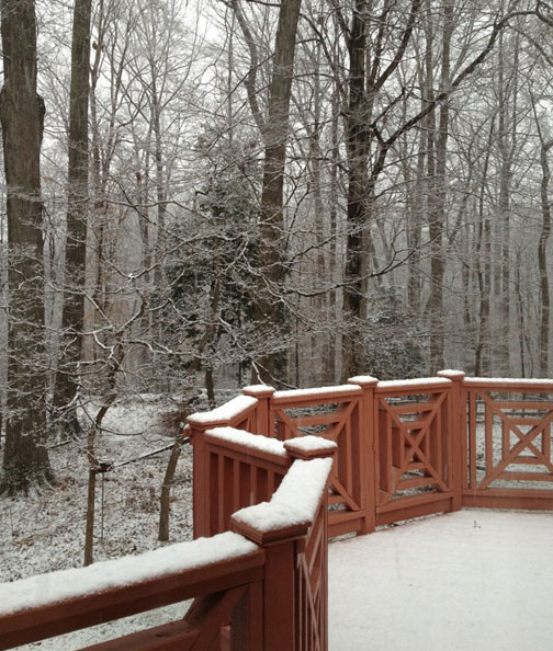
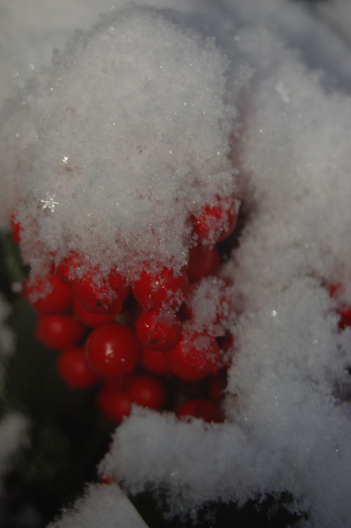
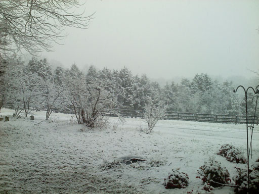
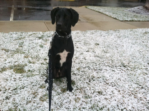
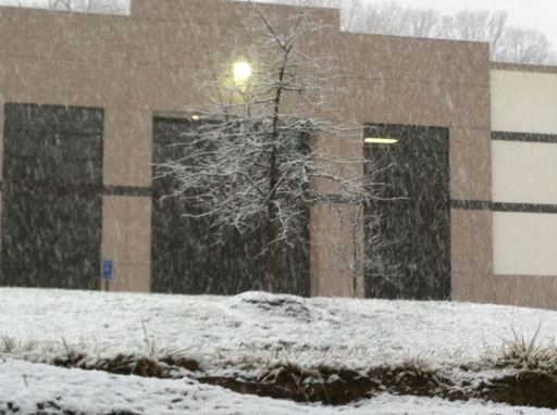
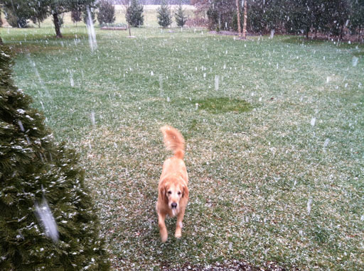
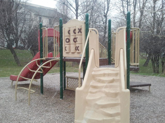
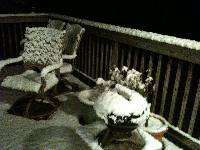
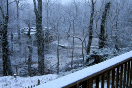
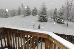
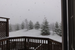
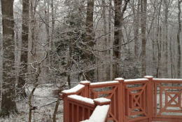
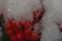
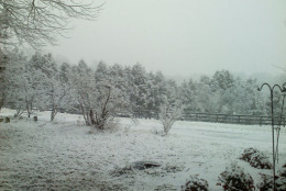
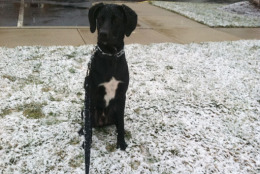
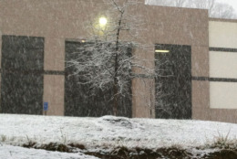
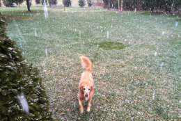
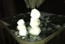
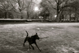
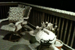
The cold front that produced areas of snow and rain on Monday passed south of the region, ABC 7 says. With temperatures above freezing, little more than some scenic accumulation was expected: That is, grassy areas, trees and rooftops are offering most of the prime photographs in the mini-winter wonderland.

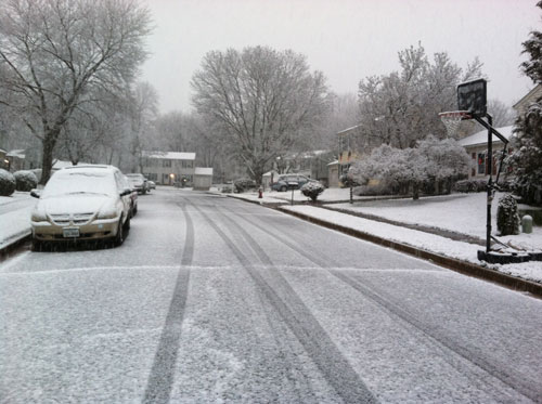
However, the snow covered some roads and made others wet during the Monday evening commute.

The National Weather Service expected the snow would end by 8 p.m.

Skies cleared Monday as the system moved over the Atlantic.

By the end of the work week, snow may be possible again with colder weather moving into the area.

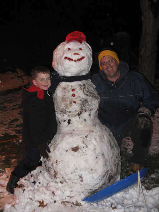
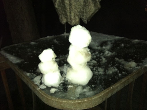
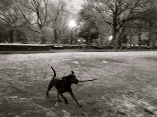
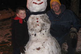
Until then, enjoy these snow photos from Monday’s flurries, and feel free to send us your own.

Follow WTOP on Twitter.

(Copyright 2012 by WTOP. All Rights Reserved.)

Federal News Network Logo
Log in to your WTOP account for notifications and alerts customized for you.

Sign up