


WASHINGTON — An isolated, severe thunderstorm developed over the Potomac Highlands Wednesday evening, prompting the issuance of a tornado warning for parts of Frederick County in northwestern Virginia.
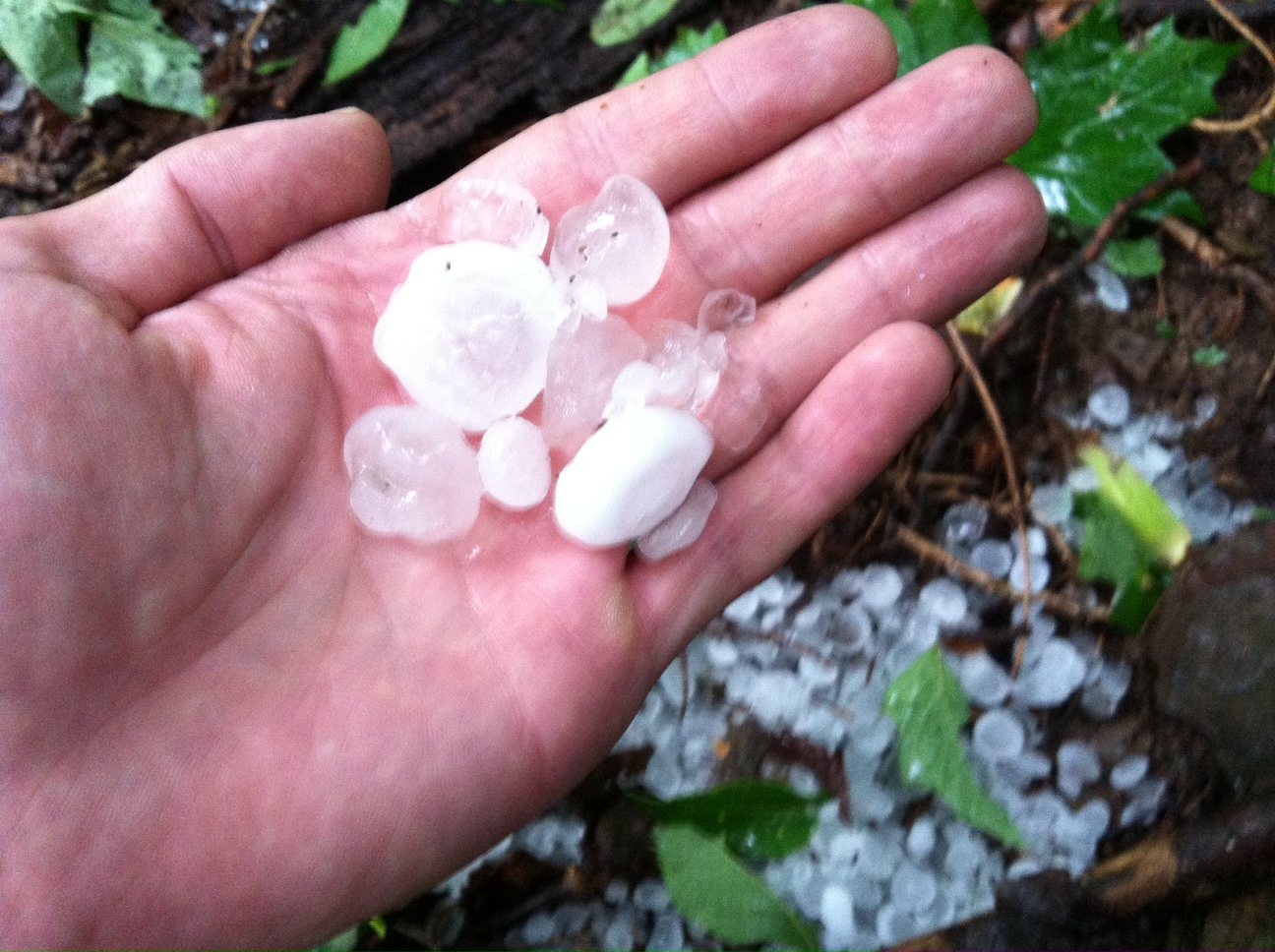
The storm affected the western outskirts of Winchester, Virginia, including rural areas near Hayfield Ridge and the town of Gore where hail up to the size of golf balls pelted the foothills.
Residents reported hail fell for between five and 10 minutes. Emergency Management reported hail up to the size of ping pong balls five miles west of Winchester.
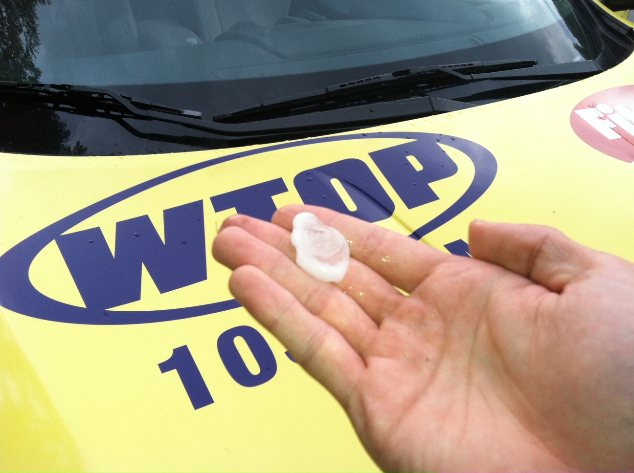
A truck was damaged by the large hail along Route 50. The storm’s hail streak left the ground ice covered in a few spots.
The National Weather Service issued a tornado warning at 6:29 p.m. Wednesday for Frederick County when rotation within the storm was detected by weather radar. There were no indications that a tornado touched down.
The storm weakened as it neared the panhandle of West Virginia and Martinsburg. The tornado warning was cancelled at 7:05 p.m. Wednesday.
The immediate Washington metro area was spared the worst of the severe weather on Wednesday as a last minute shift in wind direction allowed stable air to push inland from the Chesapeake Bay.
Heavy rainfall during the late evening resulted in localized flash flooding in the northern and western suburbs.
Follow @WTOP on Twitter and WTOP on Facebook.